Rockhouse Canyon, California
N33.7907°, W116.0565°
Reached on 11/4/2001
Topo map of waypoint
This is my first geodashing success. The dashpoint is fairly near my home up a desert canyon that i've explored in the past. The placement was just too good for me to not visit. The dashpoint is about a 2.5 mile hike into the Joshua Tree National Park wilderness. The last time i was up the canyon i would have been able to drive to within 500 feet of the dashpoint. However, sometime over the last two years the NPS has closed the route to motor vehicles. No matter. It makes a good hike. I doubt i would have noticed the tarantulas if i was not hiking! I drove as far as i could into Fargo Canyon and parked at the wilderness boundary. Was a nice hike in of just over an hour. Bit of a gray day on the desert with just a bit of rain. Nearby the dashpoint up Rockhouse Canyon is an old mine tunnel. After visiting the dashpoint i continued up to the tunnel and hid a new geocache inside.
[Text and images on this page may be used/copied/distributed freely for any purpose whatsoever without prior consent.]
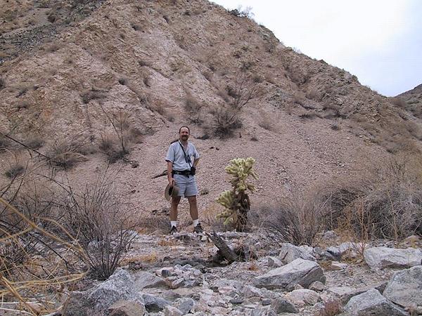
Florian at the dashpoint in Rockhouse Canyon. The cactus was pretty close to ground zero.
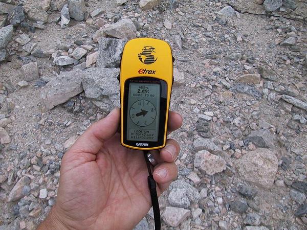
2.49 feet to waypoint. Close enough!
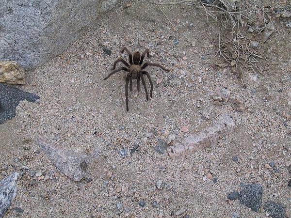
Beware the tarantulas. Saw three of them.
Visit Geodashing.org for more info!
Florian's Geocaching Page
Stargazer Home